MAELDrop #8 | Studying marine litter from above with remote sensing
Understanding how much waste is present in the oceans, which trajectories it follows and where it accumulates is an essential step to understand its impacts on marine and coastal ecosystems and to set solutions to remove it. However, this is far from easy considering the vast ocean surface and the difficulty to physically access some areas. An important help in this sense comes from remote sensing technologies.
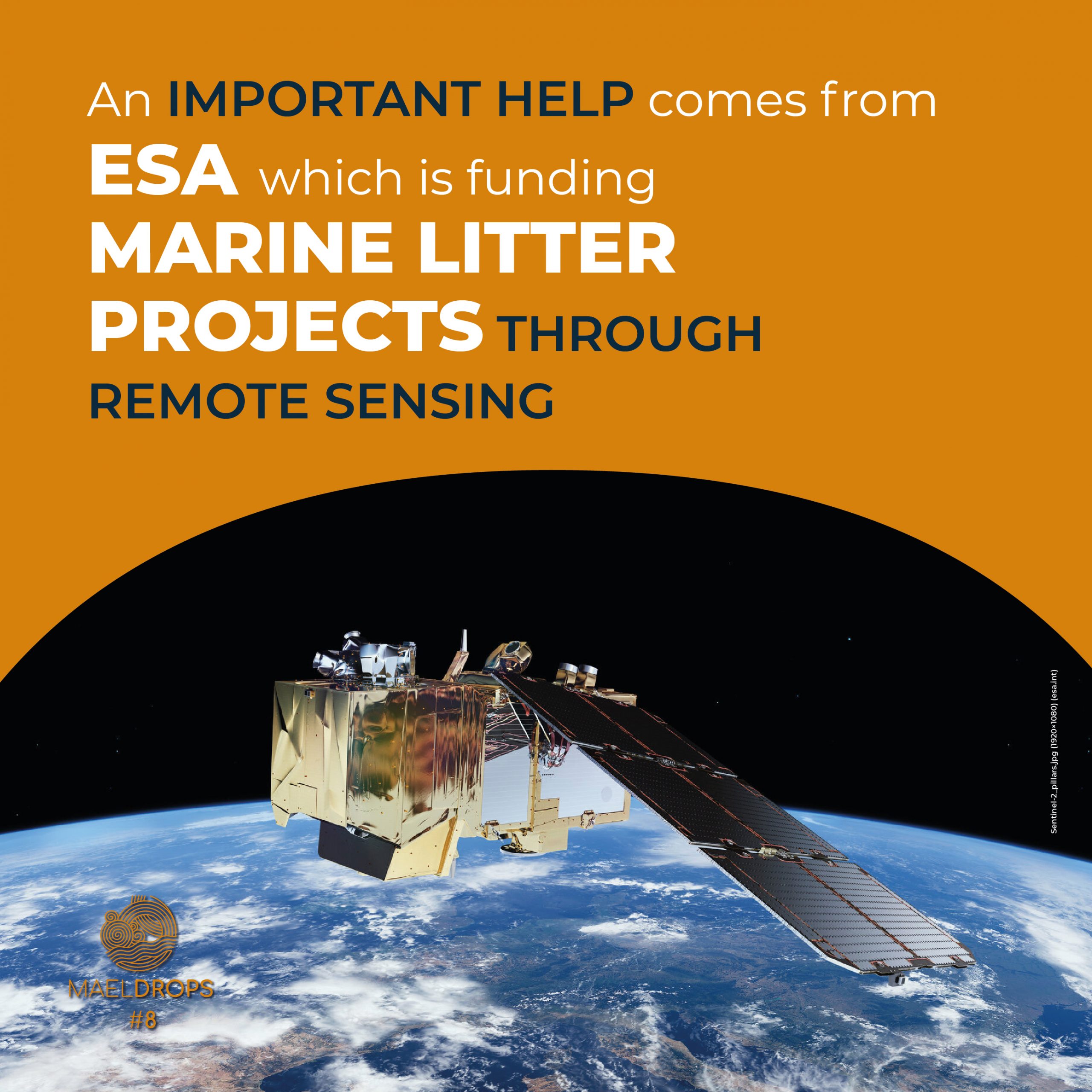
The European Space Agency (ESA) is funding 26 innovative projects to improve marine litter knowledge and monitoring through remote sensing. Projects cover different geographic areas and work on several fronts, including the development of new data processing, modelling and experimental techniques, mostly based on artificial intelligence.
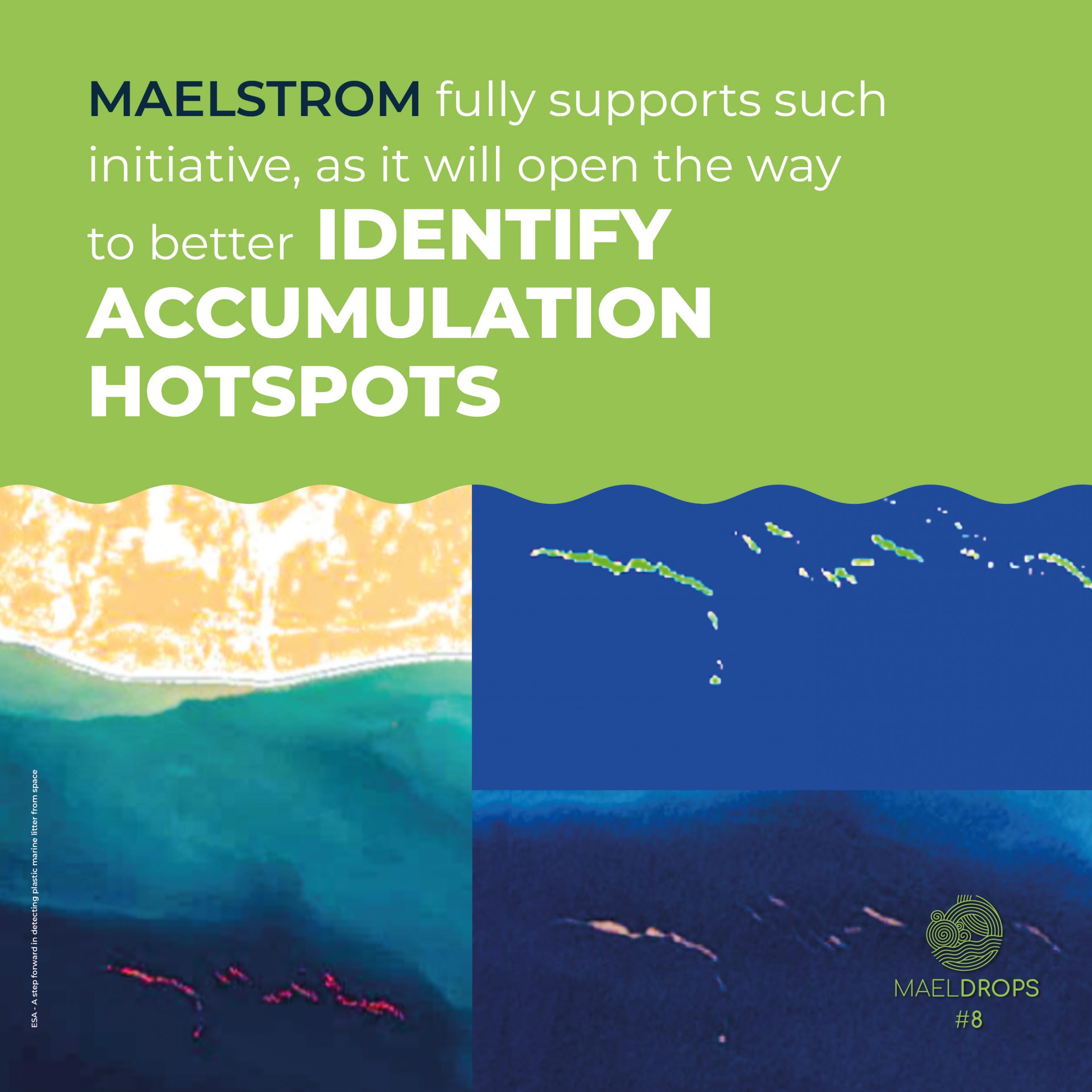
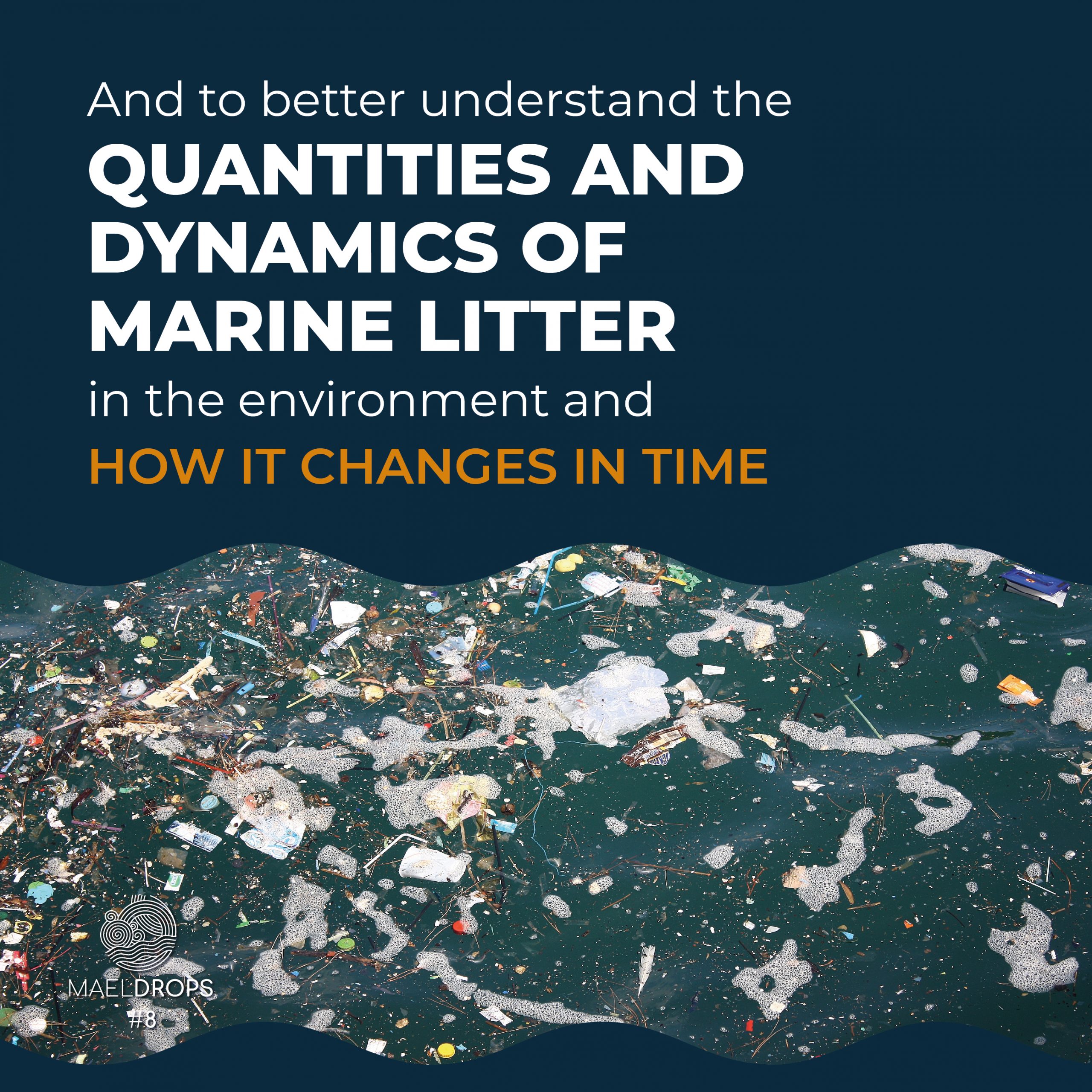
MAELSTROM fully supports such initiatives. Even if our project works mainly “from the ground” we are convinced that the research activities supported by ESA will not only provide valuable information regarding litter accumulation hotspots on where to focus removal efforts, but they will also open the way to innovative ways to understand the quantities and dynamics of plastics in the environment and how they change in time. Two of MAELSTROM partners are involved in those ESA projects: CNR-ISMAR participates on the TRACE project, exploring the possibility to detect marine litter from satellite data and forecast their trajectories using a coupled system of water current forecast and marine litter dispersal model. Deltares, on the other hand, is leading the “Plastic Monitor” project, focused on the detection of floating plastic litter that is transported downstream, in very polluted rivers, such as the Citarum river, in Indonesia.


